Putorana Plateau is a seemingly boundless basalt plateau untouched by man. It assumingly rose 10 to 12 million years ago as a result of a strong earthquake that affected the bulk of Eurasia and also gave rise to large islands in the Barents Sea and the Kara Sea.
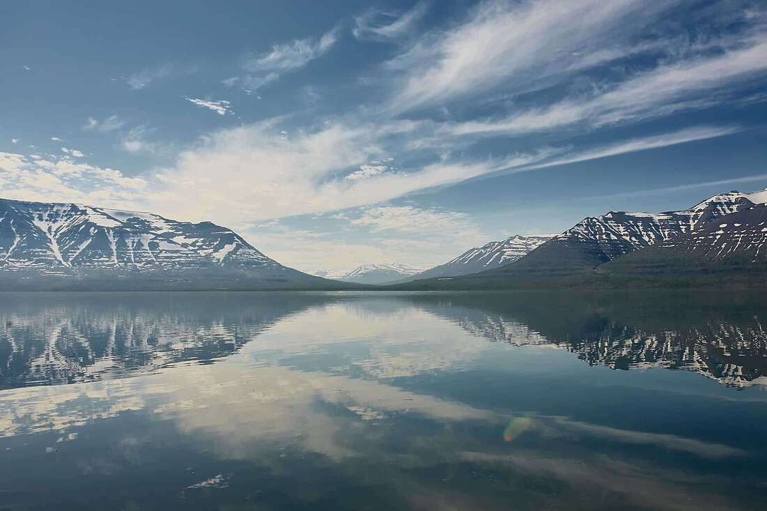
Putorana Plateau is a realm of peakless mountains, a UNESCO World Heritage site, and a land of 25 thousand lakes; here, the waterfalls are the highest in Russia, the views are amazing, the nature is magnificent, and the wildlife is diverse despite not the most welcoming geographical location: the basalt-rock plateau shaped by millennia of volcanic eruptions, is within the Arctic Circle and is the exact geographical center of Russia. Lakes account for 10% of the plateau’s surface, reaching 150 km in length and 420 m in depth. Altogether, Putorana is Russia’s second largest freshwater reservoir surpassed only by Lake Baikal.
Facts and Figures:

Where Putorana Plateau is, there once was the world’s largest volcano of all time; the plateau, which is actually a pile of cured lava, or basalt rock, was first explored and described by Russian explorer A. Middendorf in 1844. In 1902, it was even suggested to name it the Middendorf Ridge. Where the current name comes from is unknown, the best theory being that it is named after Lake Khantayskoye (formerly Lake Putoramo); another etymological hypothesis traces it to the Evenki word peteromi, meaning ‘cloudy’. the Evenki themselves call the place Kutarama, which means ‘wetland’ in their language. In 1988, the Putorana Sanctuary was opened here to preserve the pristine natural sites of the plateau, expanded to four million hectares by adding the plains of the Taimyr Peninsula, thus becoming Russia’s 4th largest of its kind.
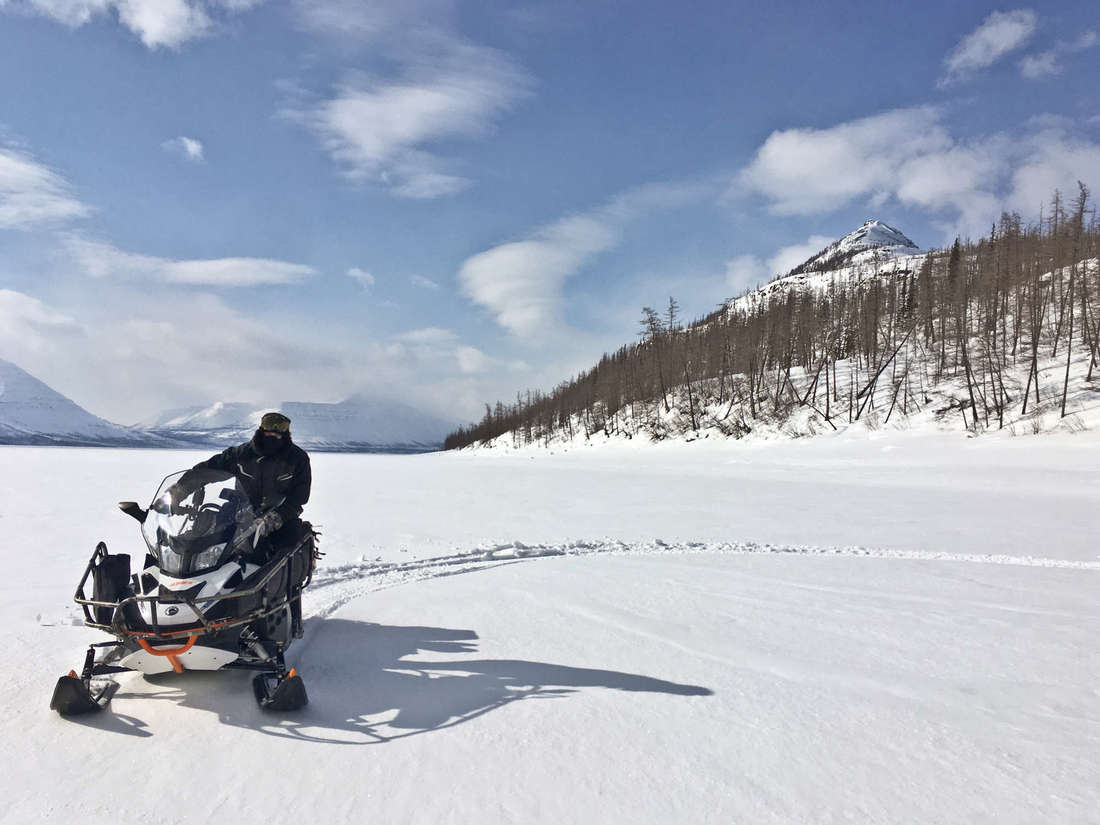
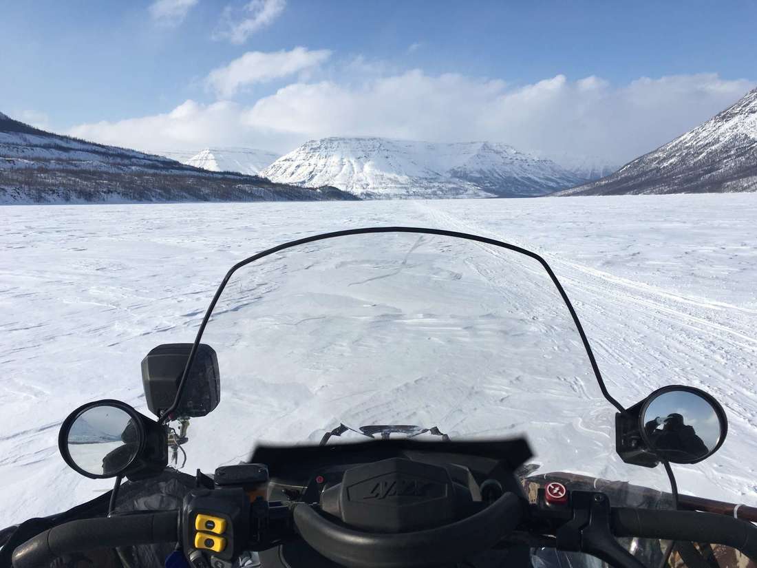
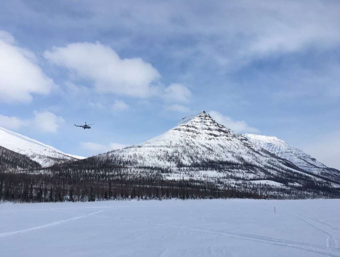
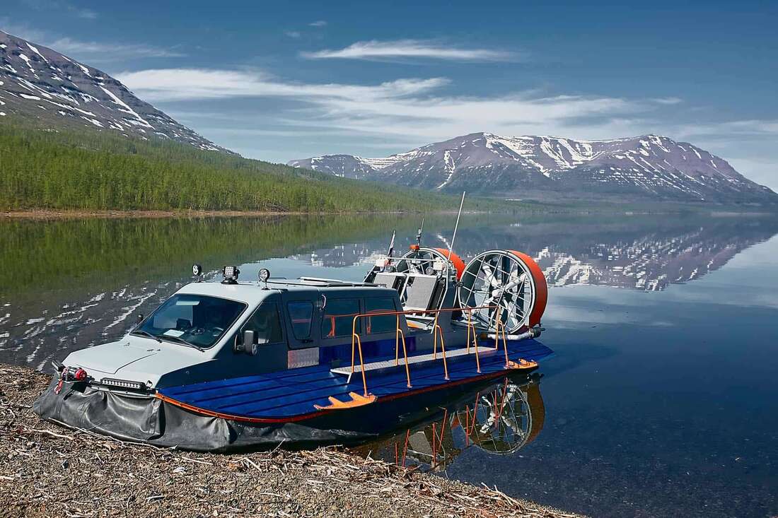
The easiest way to get to Putorana Plateau is via Norilsk; direct Moscow-Norilsk flights are offered by S7 and Nordstar, starting at 36k rubles (~560 USD) for a round trip. Another option is to fly to Krasnoyarsk (starting at 18k rubles or ~280 USD for a round trip from Moscow), then fly to Svetlogorsk for another 25k rubles (~390 USD). Note, however, than Krasnoyask-Svetlogorsk flights may not be available and need to be pre-booked with a travel agency, e.g. RussiaDiscovery. Putorana Plateau is not accessible by road transport, since there are no hard-paved roads in canyons. The most convenient option is to book a helicopter, which is not cheap; however, unless you want to reach the very depth of Putorana, the most unexplored parts of it with no trace of human civilization, you can opt for a boat trip to the edge of the plateau. In winter, when the lakes and rivers are frozen, snowmobiling becomes a viable mode of transport (find more about local winters in the section below).
Putorana Plateau is extremely diverse, and so is its weather. It lies entirely within the Arctic Circle and features extremely continental Upper Quaternary-like climate. The western part of Putorana has cool and humid summers, while the east is warmer and drier. Seasonal temperature difference can be as large as 100ºC. Precipitation is mainly solid, as the place is cold.
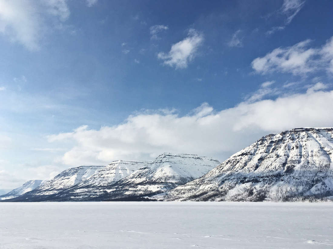
Being far in the north, Putorana Plateau features polar nights, which can be as long as 56 days (November 25th to January 13th); and polar days (74 days from May 16th to July 29th) at 70º north. Winters are long and harsh; snow cover forms in early October, and average January temperature is low at -27.5ºC. The plateau is snow-covered for about 8 months, as it only fully melts in mid-June. Even in late May, temperatures might still be sub-zero. This means that the local lakes have 2-meter strong ice cover for about six months every year, which is enough to carry the weight of a snowmobile.
The summer, albeit rather short, is relatively comfortable; July has an average temperature of 14.2ºC, with a peak of 31.8ºC registered in 1991.

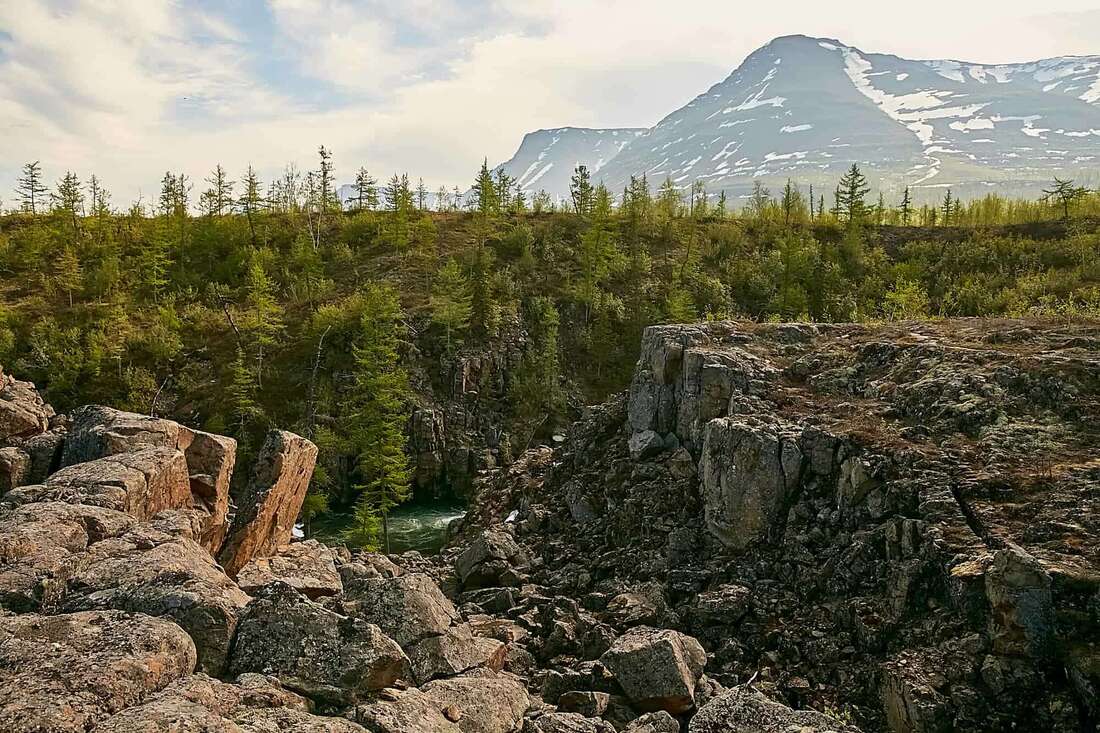
Putorana Plateau covers an area of 250 thousand sq. km, making it slightly larger than the United Kingdom. It is not a single mountain, rather a massif in Mid-Siberia. The sheer size of the place makes its climate quite diverse, ranging from sharply continental with extremely cold winters and hot summers to milder weather near lakes such as Lake Lama, where mountainous natural borders protect smaller areas against harsh northern winds. To give you an even better idea of how large Putorana Plateau is, think of driving for 8 hours straight — this is how long you’d have to ride a car to cross the plateau, if you could.
25 thousand lakes, countless rivers and waterfalls, and an area size of the UK. How many human settlements are there? None! Siberia itself isn’t very populated either but having a popular touristic site where the only more-or-less permanent residents are campsite workers is quite unusual even for the vast Siberian expanses. Although there are Evenki, Nenets, and Russian villages in the lowland valleys on the borders of the plateau, even there the mean population density is below 1 person per square kilometer. However, the closest major city to Putorana Plateau, Norilsk, is famous for being the world’s largest city within the Arctic Circle, as it has nearly 200 thousand people on its permafrost grounds, see below.
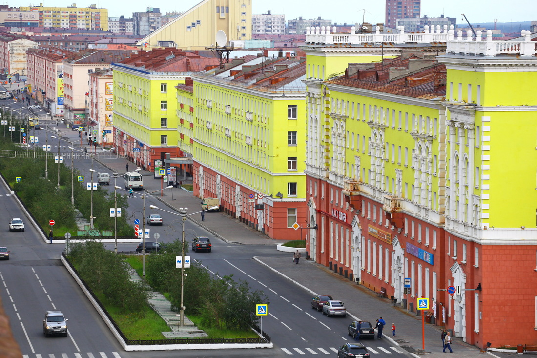
Putorana Plateau borders the Arctic Circle in the south and is located in the north-west of Krasnoyarsk Krai, where it overlaps with Taymyrsky, Dolgano-Nenetsky, and Evenkiysky municipalities. The nearest major human settlement is the city of Norilsk, the world’s most populous settlement within the Arctic Circle, famous for its houses on pillars (there is literally no other way to build a high-rise on permafrost!)
Putorana Plateau has a diverse wildlife typical of taiga in North Siberia. Being a mountainous region, Putorana differs from the lowlands in its fauna. The local biodiversity is at least in part attributable to the fact that the plateau overlaps the natural habitats of many European, Siberian, and Arctic species.
All in all, there are 397 mammal species, 187 birds, 40 fish species, and 1 amphibian found here. Local waterbodies emerged as a result of lakes and riverbeds being reshaped multiple times during Pleistocene and Holocene, which created several isolated populations; now, Putorana Plateau boasts a few endemic Arctic char and Thymallus subspecies. The bird roster includes 12 endangered avians, among them the yellow-billed loon, the red-breasted goose, and the hooded crane.
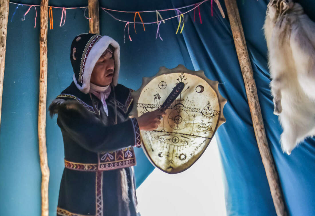
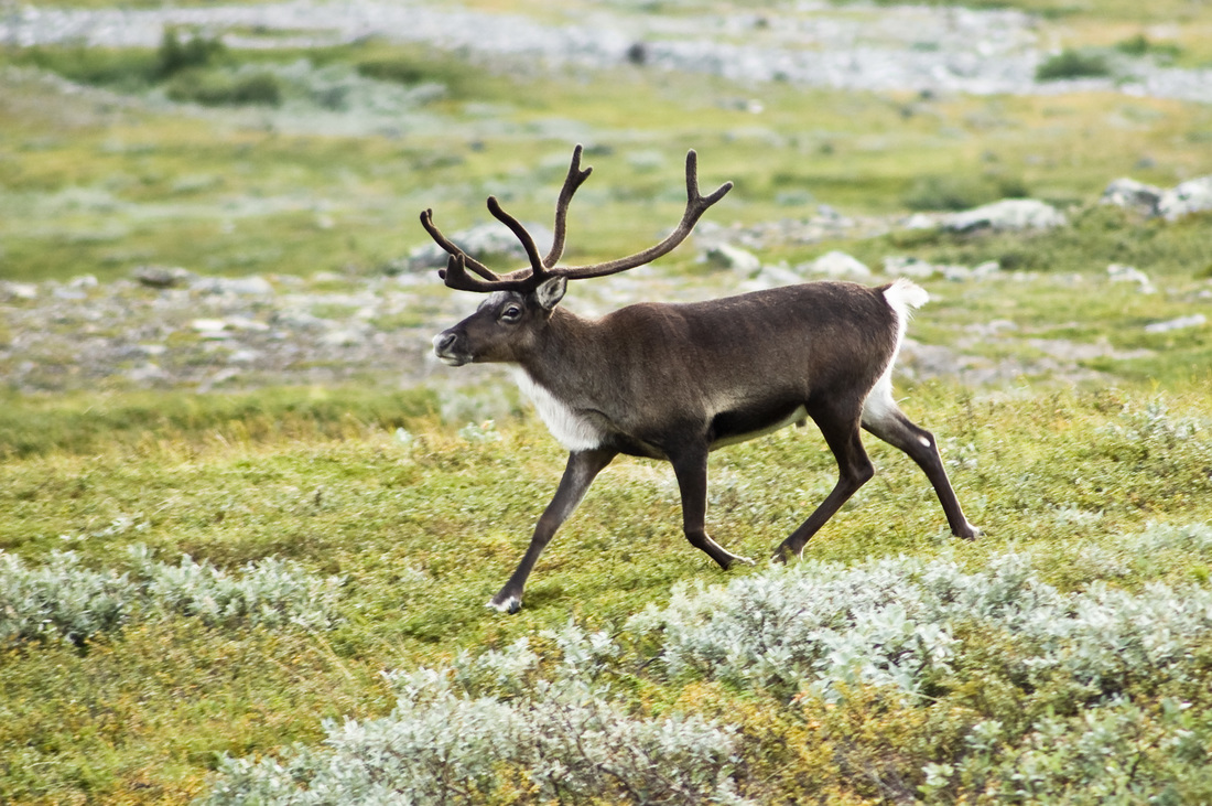
However, it is not the fish and birds that the plateau is most famous for. Isolated and hard-to-access, a place where nature has remained pristine and bears little to no human footprint, Putorana is the habitat of multiple vulnerable mammals, some of them have long been extinct elsewhere, like sables. For all but two species (reindeer and Arctic foxes), the plateau is only a temporary stay on their seasonal migration routes. Some, like brown bears, wolves, and wolverines, or the mighty moose, are encountered everywhere on the plateau. Others, like snow sheep, rams, foxes, and muskrats, will only be seen in some locations. Reindeer prefer the taiga and migrate through it in fall and in spring, followed closely by wolves and brown bears. In winter, Putorana Plateau welcomes thousands of Arctic foxes coming here from the tundra of Taimyr.
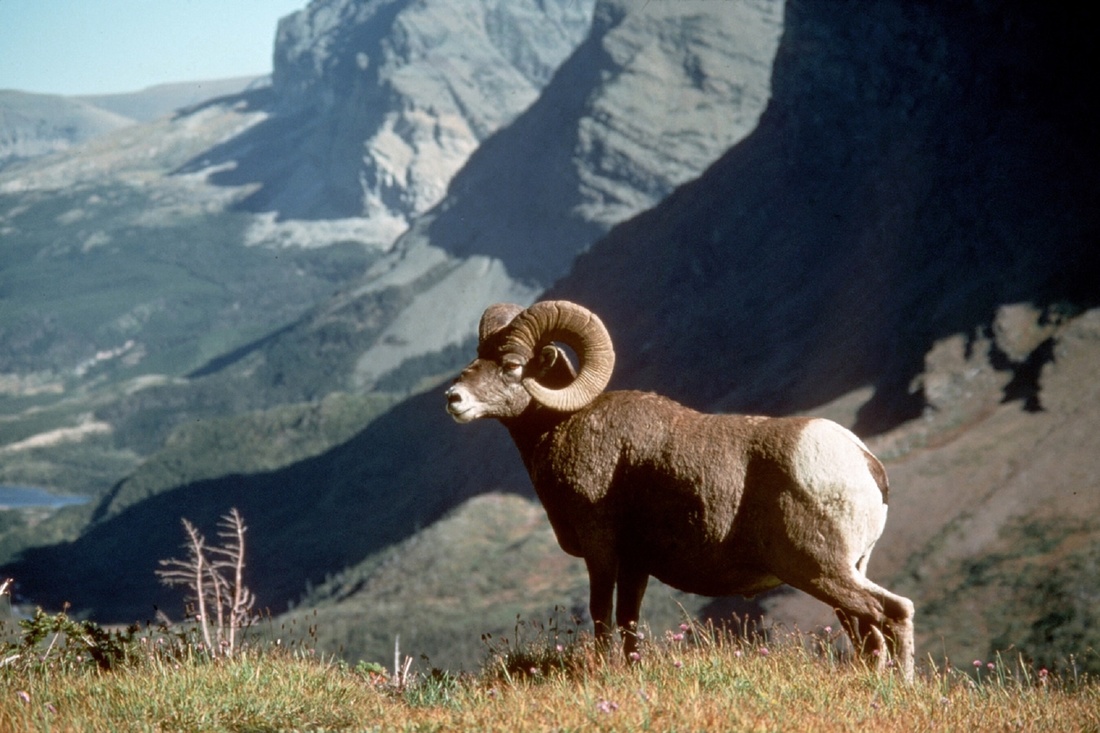
Snow sheep, or Siberian bighorn sheep, is an herbivorous species widespread in East Siberia. Unlike many other mammals seen in Putorana Plateau, this one is of least concern. But that was not always the case: snow sheep have been human’s game since Holocene, while by the 1960s, poaching had reduced the majestic ungulate’s population in the plateau to only a sixth its 1900 level, having partially recovered since then thanks to major effort taken to create a sanctuary. Given how large the plateau is and how few humans dare challenge its frozen canyons, the magnificent ram remains a rare encounter, and genuine photos of it taken in the plateau are still a treasure: afraid of humans, snow sheep keep hiding in the least accessible locations around the ridge, where they can safely stay away from human and predator encounters, albeit with less food at hand (well, at hoof).
What is that about snow sheep that makes the species so… special? It is that the subspecies you will find in Putorana Plateau is endemic to it; it developed and evolved in isolation from the primary population in Kamchatka and Yakutia. It is a large and strong beast capable of exceptionally accurate smelling, vision, and hearing. A grown-up male may weight up to a hundred kg, still being extremely agile and gracious when leaping the cliffs. Don’t count on hugging a billy though or taking a selfie with it — they run away fast from predators and humans alike.
(1).jpg)
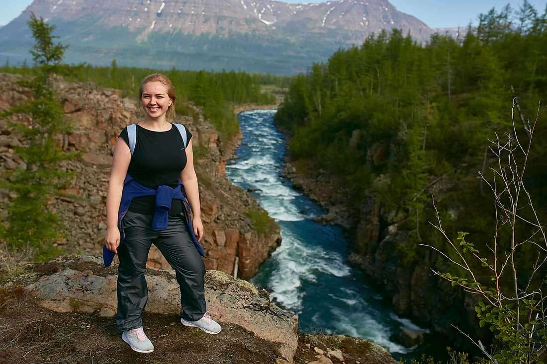
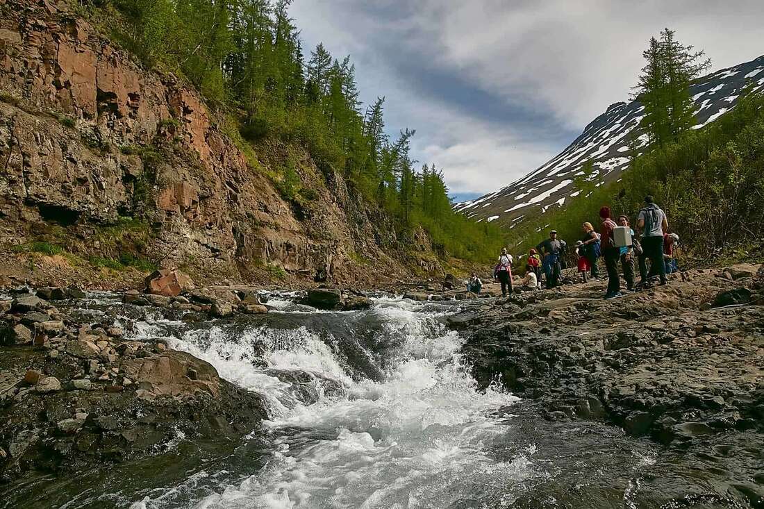
When it is sufficiently cold in winter (i.e. for half a year), the lakes and rivers are icebound and can carry a snowmobile easily. In summer, rafting and boating will provide both transport and entertainment. Do not count on a luxury hotel—there’s a campsite at the southern edge of Putorana Plateau, but that’s it. The silver lining of this cloud is that the canyons are great for hiking, and even seasoned wildlife enthusiasts might find a challenge worthy of their skills here. Prepare appropriately: warm clothes are a must, as nights are cold and windy. Make sure your shoes are strong enough to survive hours of climbing and descent on basalt rock, while also comfortable enough for your feet to survive the same. Take as much food as you can carry: albeit the plateau has some mushrooms and berries, human-edible food is quite scarce.
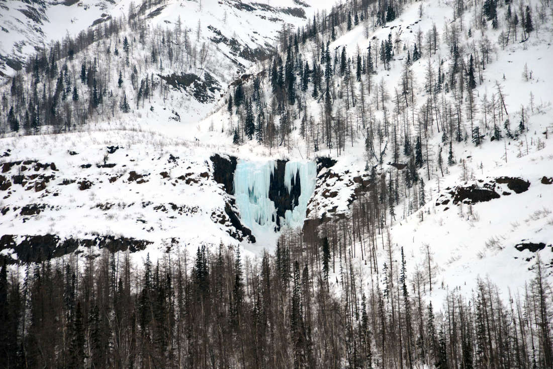
In summer, mosquitoes swarm the area, so mind the protections, e.g. repellent gels or mosquito mesh for your tent. A first-aid kit will not hurt, and neither will a GPS beacon and an emergency telephone. Finally, unless you are a citizen or permanent resident of Russia, make sure your travel insurance covers injuries due to hiking accidents, cold shocks, etc.: better safe than sorry! Note that this experience is not for everyone: hiking so far in the north requires a really good shape. And while it may sound too complicated, the views here are worth it all: Talnikovy Waterfall alone at its height of 700 meters will take everyone’s breath away, while Lakes Keta, Lama, Khantayskoye, and Sobachye are outstanding for sportive fishing (and skinny dipping for them tough tourists!)
_1572251738.jpg) Wrangel Island Guide
Wrangel Island Guide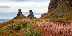 Kola Peninsula
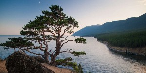 Olkhon Island
_1592316643.jpg) Svalbard
Svalbard